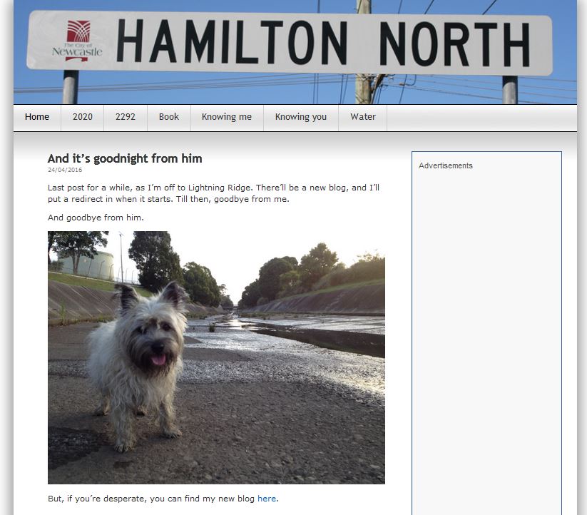
This prolific photoblogger scoured the nooks of Hamilton North from
July 2011 till April 2016, then moved to
Lightning Ridge and carried right on. [My name is Mark MacLean. I’m a writer and editor and blogger and, as of
right now, a History / English teacher at Lightning Ridge Central School,
New South Wales. I’m here for 2016: terms 2, 3 and 4.]
2292
Hamilton North is in Newcastle, New SouthWales, Australia. It shares the postcode 2292 with neighbouring Broadmeadow.
Hamilton North has very distinct boundaries. To the south is Griffiths Road. At one time the playing fields of Smith Park and Richardson Park extended through to the showground but Griffiths Road split the area, stranding Hamilton North Public School on an island of land behind one of the city’s busiest roads. To the north is Clyde Street, which even in my time was a hive of industry: Australia’s last light globe factory was here, and a bakery, and all manner of small factories. Now they’re closed these buildings house secondhand stores. To the west is Broadmeadow Road, with the Sunnyside Tavern and Goninan’s fabricators. And to the east is the old gasworks, the petrol distribution site, and the rail line to Sydney. It’s all so romantic.
You can see Styx Creek, a major character in the blog, running at about 45 degrees from the bottom of the map, below, parallel to Bates Street until it curves “upwards”, if that makes sense.
Everything that happens on this blog takes place within these bounds. This year’s writing project is a book about my year walking around here, thrillingly titled 2011 in 2292. This blog is the picture part of the project.
As they used to say at restaurants in the olden days, Enjoy!
Quite the treasure, this one… https://hamiltonnorth.wordpress.com

Post a Comment
Additional information, anecdotes, etc., or corrections are welcome.